
Map page guide

Read the preserved-tower map at a glance

This view marks preserved lighthouse towers along the northern coast, traces their coastal route context, and highlights where archival records support each location.

Legend key

Preserved tower
A standing lighthouse structure with documented preservation status.
Coastal route
A historical navigation corridor connecting nearby towers and landing points.
Archival reference point
A mapped place linked to photos, keeper notes, or historical registry citations.
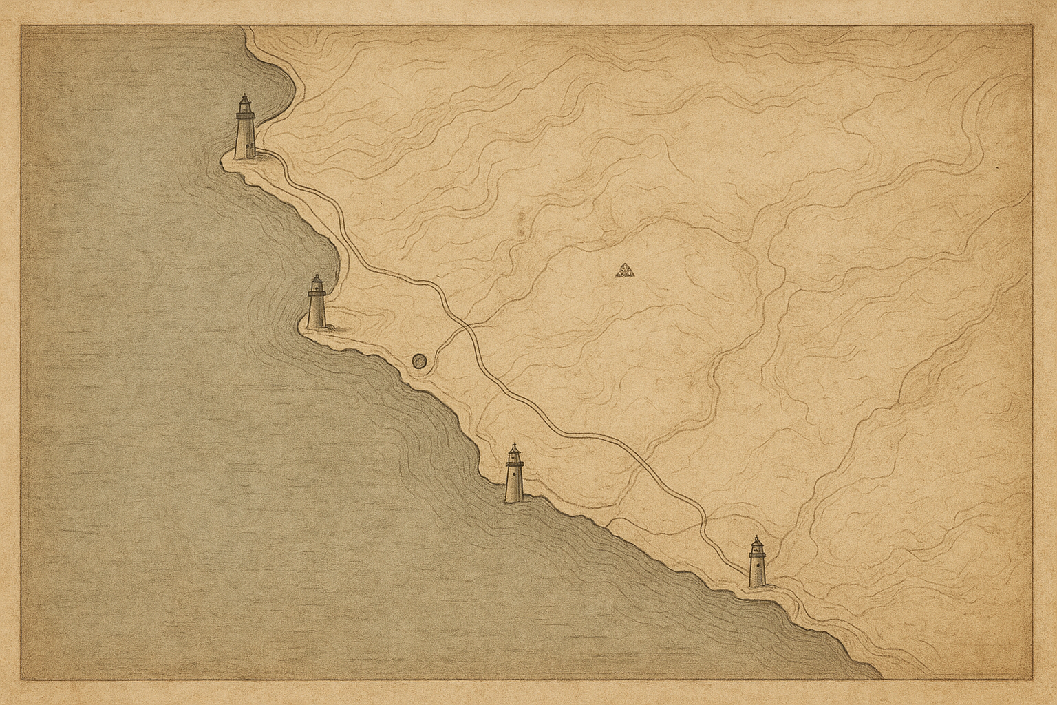
Historic-style coastal map with preserved lighthouse tower markers, route lines, and archival note symbols
Supporting visual: preserved towers and coastal navigation context in an archival map style.

Preserved towers guide

Northern-coast reference points

Place-first entries with short orientation notes for quick map reading.

  • Skerry Point

    Granite tower at the outer shoal line; first beacon seen on the northwest approach in poor weather.

    NW approach · N-01
  • Gull Head

    Rebuilt lantern and gallery retained; historically paired with fog-bell station on the inner reef.

    Harbor line · N-02
  • Bracken Reach

    Short cast-iron tower marking the tidal bend; keeper records note frequent winter icing on the lens room.

    Tidal bend · N-03
  • Whitestone Bar

    Masonry base with later steel top section; used as the southbound alignment mark for coasting vessels.

    Southbound mark · N-04
  • North Haven

    Inner-bay light retained with original stair core; service logs indicate uninterrupted operation after 1912 upgrades.

    Inner bay · N-05
  • Seal Cliff

    Cliff-edge signal tower preserved with keeper cottage foundation; light listed as seasonal aid through mid-century.

    Cliff sector · N-06